Delicate and intricate, the complexity of ecology and climate in the tropics presents a challenge for any scientist wishing to study more closely patterns of the naturaleza. Especially for geologists, accessing the bedrock, the layer of rock that forms the base of the land — underlying all soil and bodies of water –, is especially tricky. Hot and humid weather year round in tropical latitudes makes for incredible biological productivity, and happy microbes break down rocks into soils at a startling pace. Thus, to find exposures of rock outcrops that were fresh enough to determine the lithology, or composition, required a bit of effort.
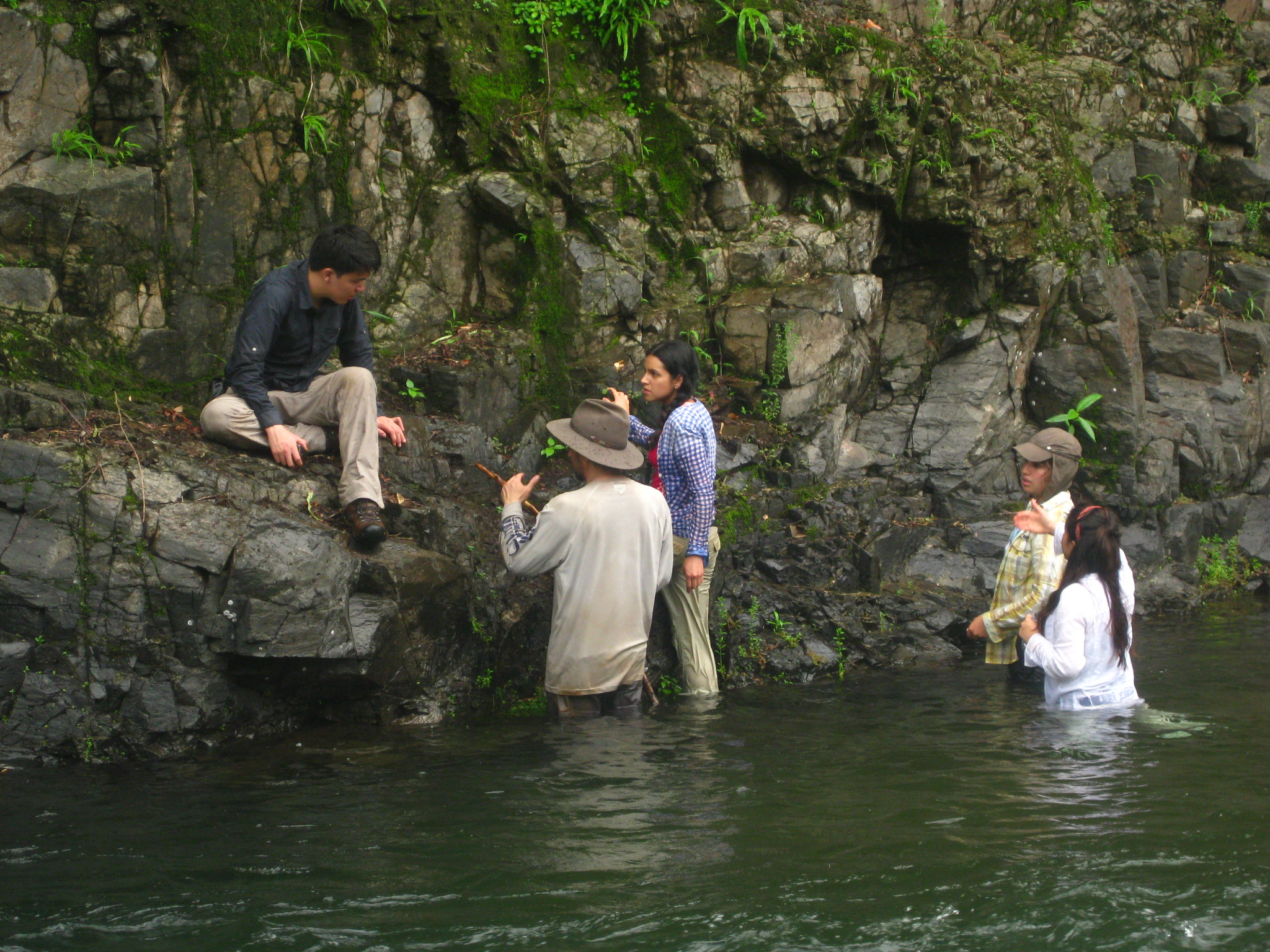
In Azuero especially, it was difficult to see any bedrock beneath thick layers of red- iron rich tropical soils. The majority of land in the past 60 years has been deforested, and pasture land stretches for miles. Thus, to access the rocks, the majority of our time was spent in rivers, where water carved into the bedrock below.

And so, our group of geologists embarked on a quest to find bedrock exposures in the countryside of rural Panama. Pictured in the foreground PCP-PIRE intern Paris Morgan.
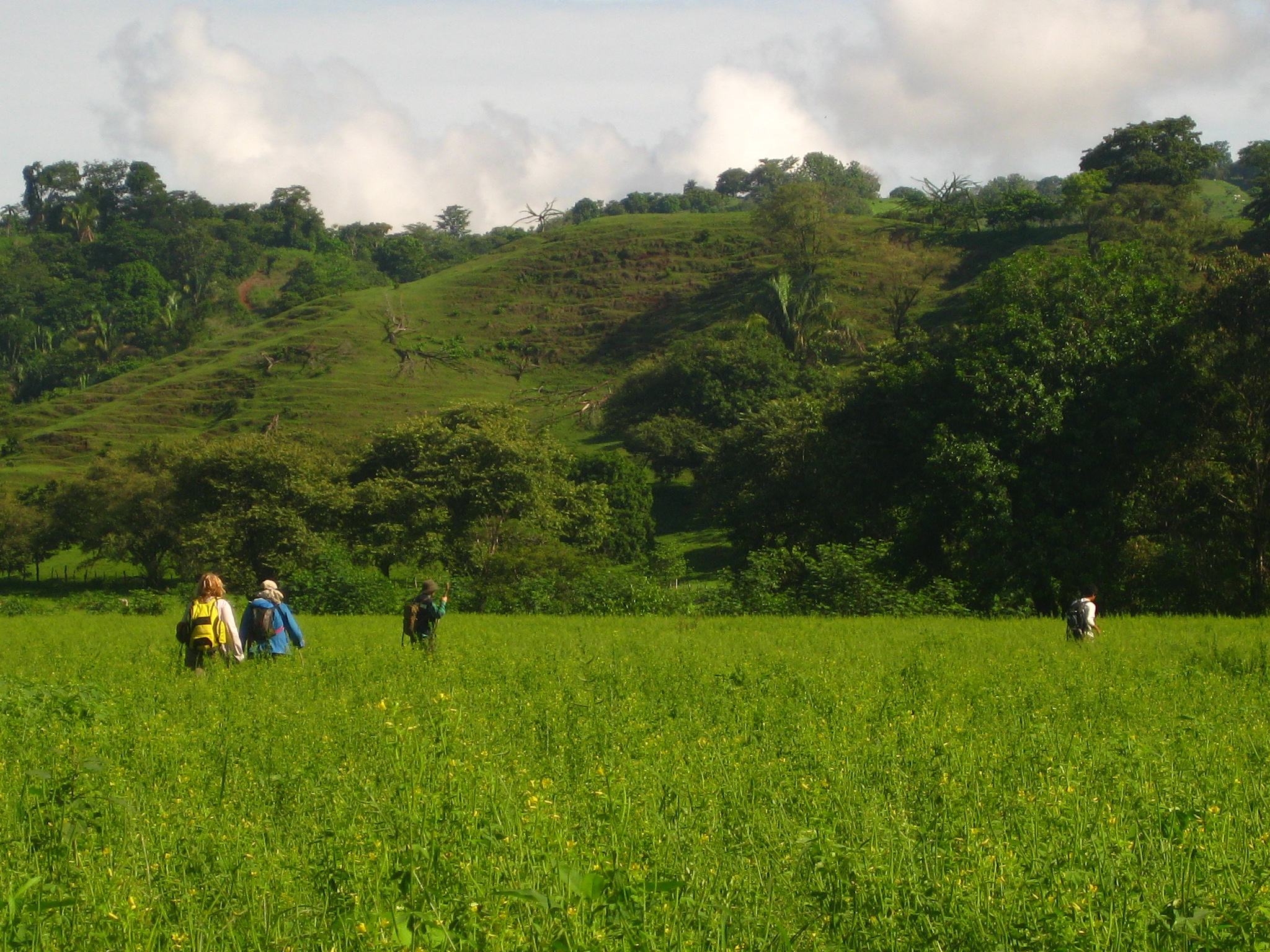
A half-day’s drive from the Panama Canal Zone, the Azuero peninsula is comprised of rocks much older than those encountered in the Canal. Our goal was to learn more about the tectonic history of the region, to better inform our understanding of the ‘how’ and ‘why’ of the closure of the Isthmus of Panama. To do this, we spent each day hiking through rivers and along beaches to access outcrops (‘afloramientos’ in spanish), where we would diligently document (in colored pencils on topographic maps) the rock types we encountered, their orientation and extent. By compiling bits of color day after day, it was possible to draw connections between similar rock types and infer (or, quite literally ‘color-in’) the bedrock geologic map of the south-western portion of the peninsula. Increíble!
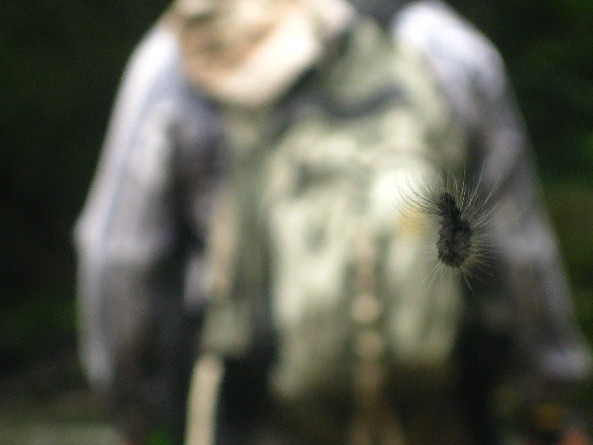
Trekking through the rural countryside of Panama, the pursuit of a geologic field mapper is to learn the layout of the land…by foot. This caterpillar and paleontologist both captured in the view, caught moving at a slightly different pace.
July 2015. By Gina Roberti, PCP-PIRE Intern.