Late May and early June, 2014, will find Randell Research Center archaeologists working on Mound Key, in Estero Bay near Fort Myers Beach.
Bill Marquardt and Karen Walker, along with University of Florida (UF) graduate students Melissa Ayvaz and Nathan Lawres, will join Victor Thompson and his students from the University of Georgia (UGA).
Eight students from Florida Gulf Coast University (FGCU) will also participate, along with faculty members Alison Elgart and Mike McDonald. This study, funded by the Florida Museum of Natural History’s Knight Endowment for Florida Archaeology, the National Geographic Society, and UGA, will continue the research begun in May of 2013. The work has benefited greatly from the logistical assistance of Ted, Todd, and Tim McGee, and the kind permission of the Koreshan State Historic Site, which manages the Mound Key Archaeological State Park.
Our 2013 work was the first archaeological investigation at the site in nearly 20 years. Mound Key was the capital of the Calusa during the sixteenth century. A powerful king ruled all of South Florida from this island town. Then known as Calos, the site is a complex of mounded middens that date as early as A.D. 300. Much of what we know about the Calusa capital comes from historic documents and a small amount of archaeological research that has been conducted at the site. Our research is aimed at exploring the nature and functioning of Mound Key as a capital during the sixteenth century at the time of Spanish exploration in southern Florida and understanding how and why the mounds were built up.
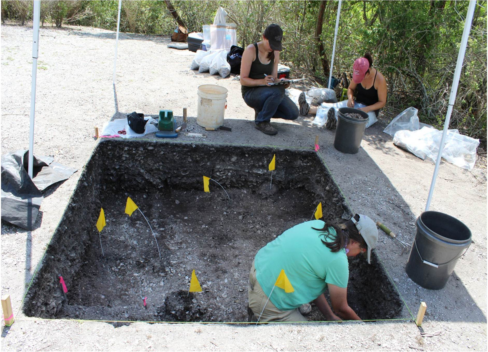
One of our key research questions: Is there any structural evidence to support the historic documentation of Mound Key as the capital? Specifically, we want to know if there are any remnants of Calusa buildings, specifically the king’s house and any structures associated with the Spanish occupation of the site beginning in 1566. To begin our investigations, we focused on the two largest mounds at the site, because these are the most likely locations for the structures described in the documents. Prior to excavation, we conducted a limited shallow geophysical survey of both mounds. The most productive method during this phase of the project was ground penetrating radar (GPR). Our GPR survey on both mounds provided some insight into the nature of deposits and the presence of possible structures.
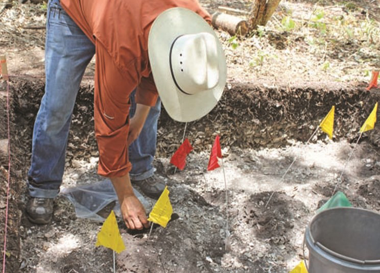
We began our investigations on Mound 1, which we predicted to be the location of the king’s house described by Gonzalo Solís de Merás as being able to hold 2,000 people. We reasoned that a structure this large would take up most of the summit of the mound, because it is only around 30 meters in diameter. Therefore, the most likely location to find its walls would be right along the top edge of the mound. Indeed, our GPR survey indicated a curving arc of highamplitude reflections in this area, which we took to indicate possibly the wall of a large structure. Using the GPR survey as a guide, we placed a 2-meter-by-2-meter excavation over the arc. Our excavations revealed two lines of posts associated with a large trench filled in with shell that correlated with the arc in the GPR data. We believe that these posts are part of a large structure on top of this mound. Although further evidence is required, we think that that this represents constructions associated with the king’s house at Mound Key.
We also conducted a GPR survey on Mound 2, because previous investigations and documents suggest that this is the location of the Spanish occupation of the site and possibly the location of San Antón de Carlos, the fort established by Pedro Menéndez de Avilés in 1566. The GPR indicated linear arrangements of high amplitude reflections in this area that were roughly rectangular. Excavations near one of the linear patterns in the GPR data revealed a complex suite of posts associated with many Native American artifacts, as well as Spanish and other European produced artifacts, some of which date to the mid-sixteenth century. Radiocarbon dating by the UGA Center for Applied Isotope Studies also produced dates that cluster around the sixteenth century.
In May-June 2014, we hope to uncover further evidence of the site’s 16th-century occupation and Spanish presence. We also hope to define more clearly the nature of the structure atop Mound 1. These findings have great potential to elucidate the early colonial history of Florida, as well as the nature and power of the Calusa Indians. They will provide essential clues to untangling the complicated histories of these peoples and their role in the greater story of the Americas.
This article was taken from the Friends of the Randell Research Center Newsletter Vol 13, No. 2. June 2014.