A rapidly rising sea level and an increase in storm frequency/intensity, both due to climate warming, are adversely impacting archaeological sites at a worldwide scale. A local and dramatic example in the Charlotte Harbor/Pine Island Sound region is the Calusa Island Site.
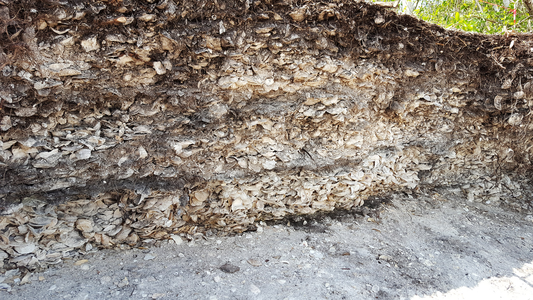
The North Beach area of Calusa Island exhibits a severely eroded, dense shell midden. Long-time resident Ed Chapin reports that some 38 to 40 feet of the upper half of this midden has eroded away since the late 1970s. Many shells and some features and artifacts have been washed out into the water and to some degree redeposited further down the beach, some to the east, some to the west. In the close-up picture, the layers of charred wood and ash represent different episodes of human activity.
Most of the exposed midden dates to the terminal years (1200-500 BC) of the Late Archaic (LA) Period. The LA people are greatly under-represented in history in large part because relatively few coastal LA archaeological sites are known to exist in this area. Because Calusa Island serves as a record of Southwest Florida’s LA people and their environment, it is a precious, rare “book” in an already small library on the history of the Calusa people and their predecessors. And its pages are being voraciously torn out.
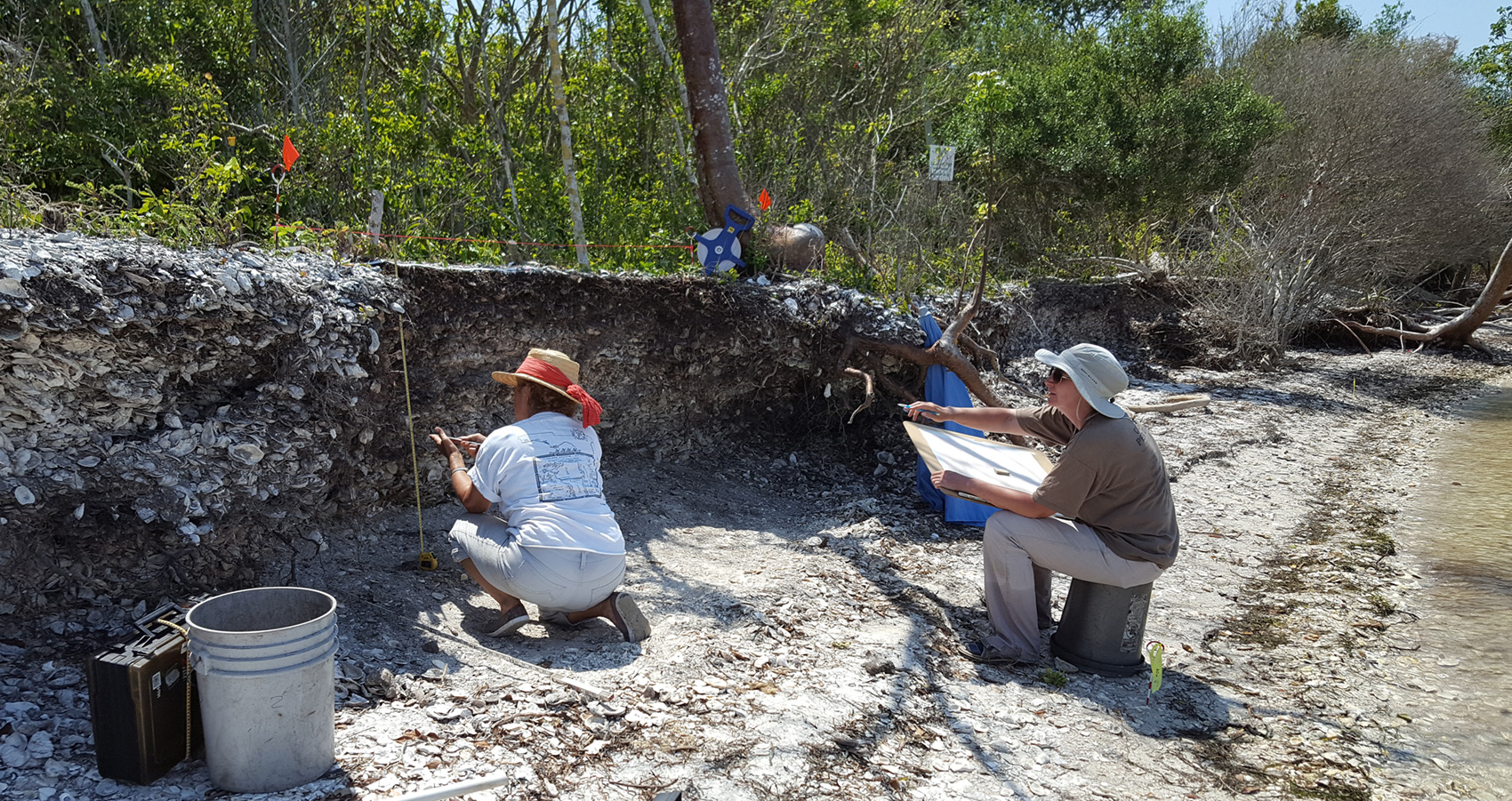
In April of 2016, in partnership with the Calusa Land Trust, owner of the two lots associated with the North Beach, the Randell Research Center initiated a North Beach monitoring project that aims: (1) to document past and continuing loss of the midden (via oral history and aerial photos); (2) to produce a measured drawing of the entire length of eroded midden not only to document it for April 2016 but also to serve as a means to record collections in a systematic manner; (3) to sample the midden, recording these locations on the drawing; and (4) to establish a system that allows for surface (beach) collection of artifacts that have eroded from the midden in a way that records their location along the roughly 300 feet of beach. Some RRC volunteers have already offered to participate in monitoring the erosion of this important site, joining a worldwide effort to collect information from such sites before they are lost forever.